The shop
Shipwrecks of Lake Erie
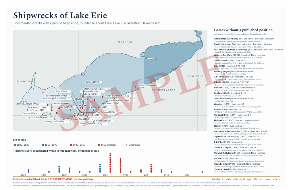
A wall map of Lake Erie's documented wrecks, with an inset timeline.
$12 USD
Buy for $12 Poster preview (watermarked)
Paid through PayPal. Digital items are delivered instantly; all sales final. Refund policy
What it is
A large-format poster of Lake Erie with its three basins shaded by depth and pins for documented wrecks, colored by era and labeled with name and year. An inset timeline runs from the first steamboat lost in 1821 to the twentieth-century freighters, and a side table lists the famous losses whose positions are unknown or protected. Positions are rounded to about a kilometer and are not dive positions.
Contents
- Vector PDF at 11×17 in
- Vector PDF at 18×24 in
- Vector PDF at 24×36 in
The details
- Format
- PDF download
- Length
- 3 pages
- Edition
- Edition 1, data verified through 2026-10
- Licence
- Personal use; print for your own home, office or classroom wall.
- Seller
- WeldonPC (Ohio), the operator of Lake Erie Gazetteer
Your library always offers the latest edition of what you bought. Positions and depths are approximate. NOT FOR NAVIGATION. Use current official charts.
Positions on the poster are rounded to about 1 km and are not dive positions. We never sell coordinates.