
The independent Lake Erie reference
Lake Erie, all five shores
Every lighthouse, every documented shipwreck and the lake's big questions, answered with sources and dates.
Three quick answers
How deep?
Average 62 ft[1] (19 m); deepest 210 ft[1] (64 m).
Source: U.S. EPA.
How deep is Lake Erie?How big?
9,910 sq mi[1] (25,700 km²) of water, 241 mi[2] long.
Sources: U.S. EPA.
How big is Lake Erie?Warmest month?
August, about 74.8 °F[3] (23.8 °C[4]) lake-wide on average, 1995–2025.
Source: NOAA GLERL.
Water temperature by monthThe atlas
Lights and wrecks around the lake
- Lighthouse
- Shipwreck (rounded position)
Lighthouse positions are landmarks. Wreck pins are rounded to about 1 km and are not dive positions. NOT FOR NAVIGATION. Browse the lighthouse list or the shipwreck list.
On the shore
Lighthouses worth the drive
-
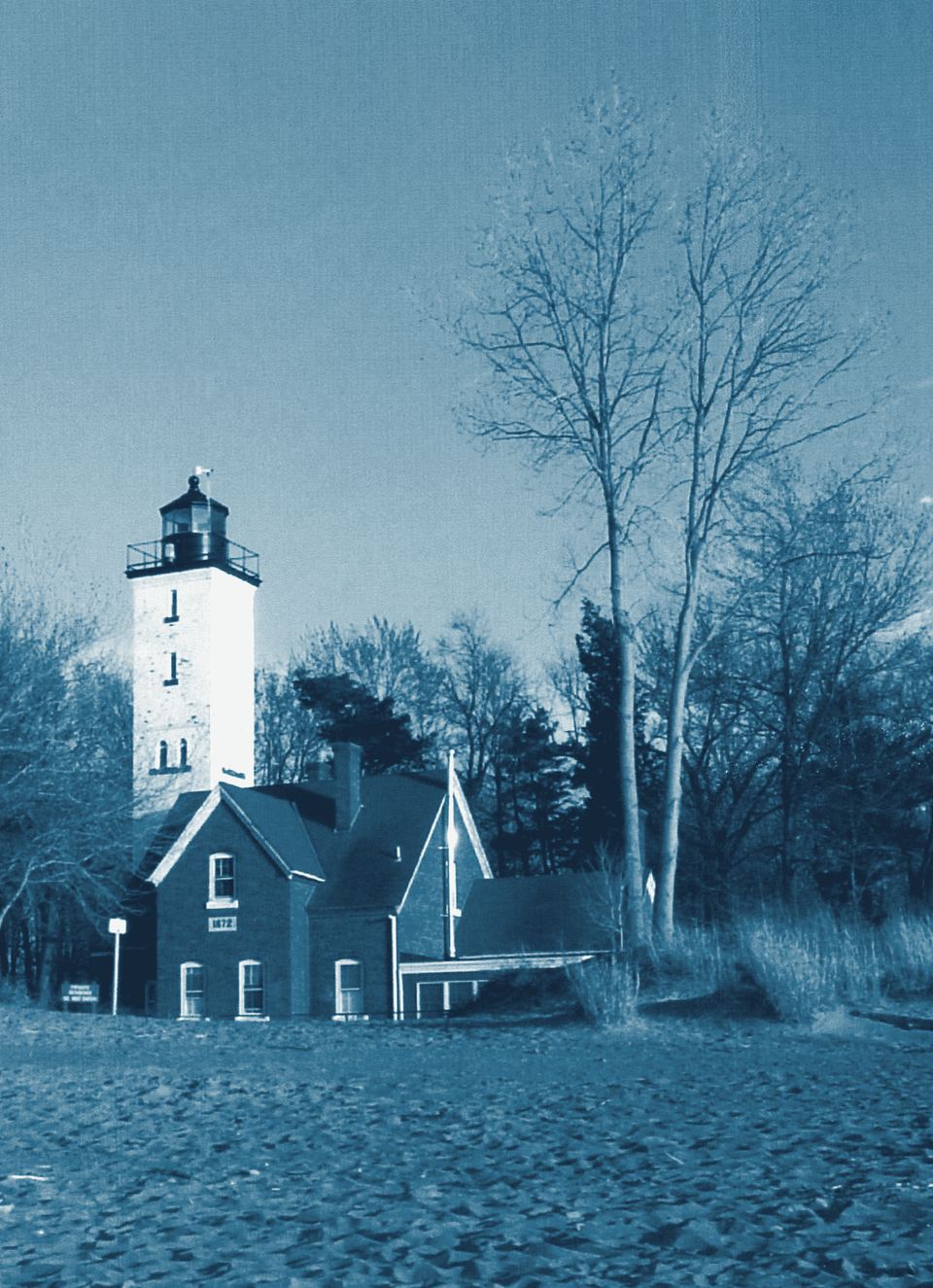
Presque Isle State Park, Erie, Pennsylvania
Presque Isle Lighthouse
Tower climbs
Photo: Emily Beck, Erie Area Convention & Visitors Bureau; cropped, rotated and color-corrected by Howcheng., Public domain, via Wikimedia Commons. Toned for this site.
-
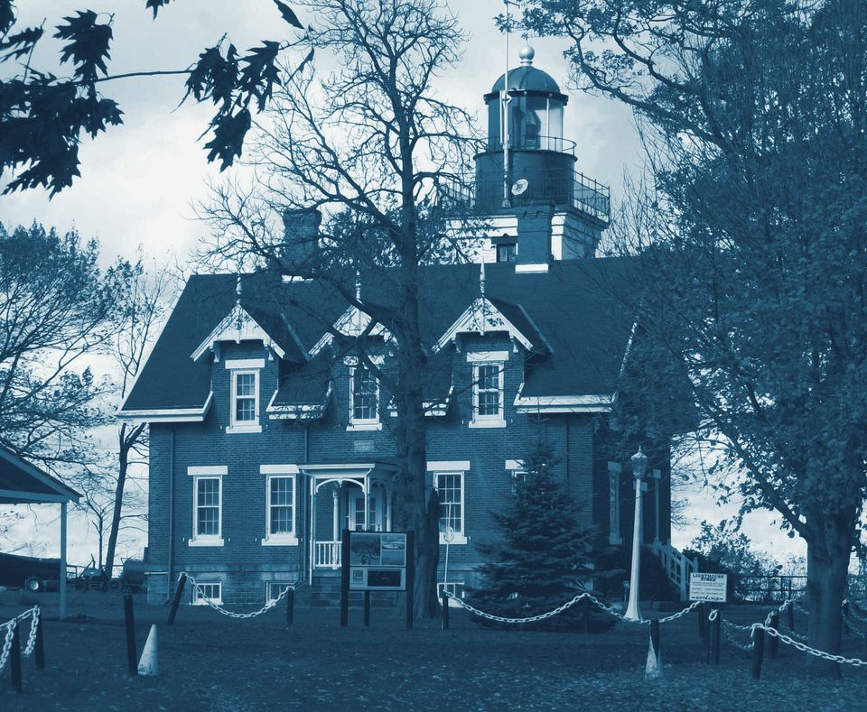
Point Gratiot, Dunkirk (Chautauqua County, New York)
Dunkirk Lighthouse (Point Gratiot)
Tower climbs
Photo: Pubdog, Public domain, via Wikimedia Commons. Toned for this site.
-
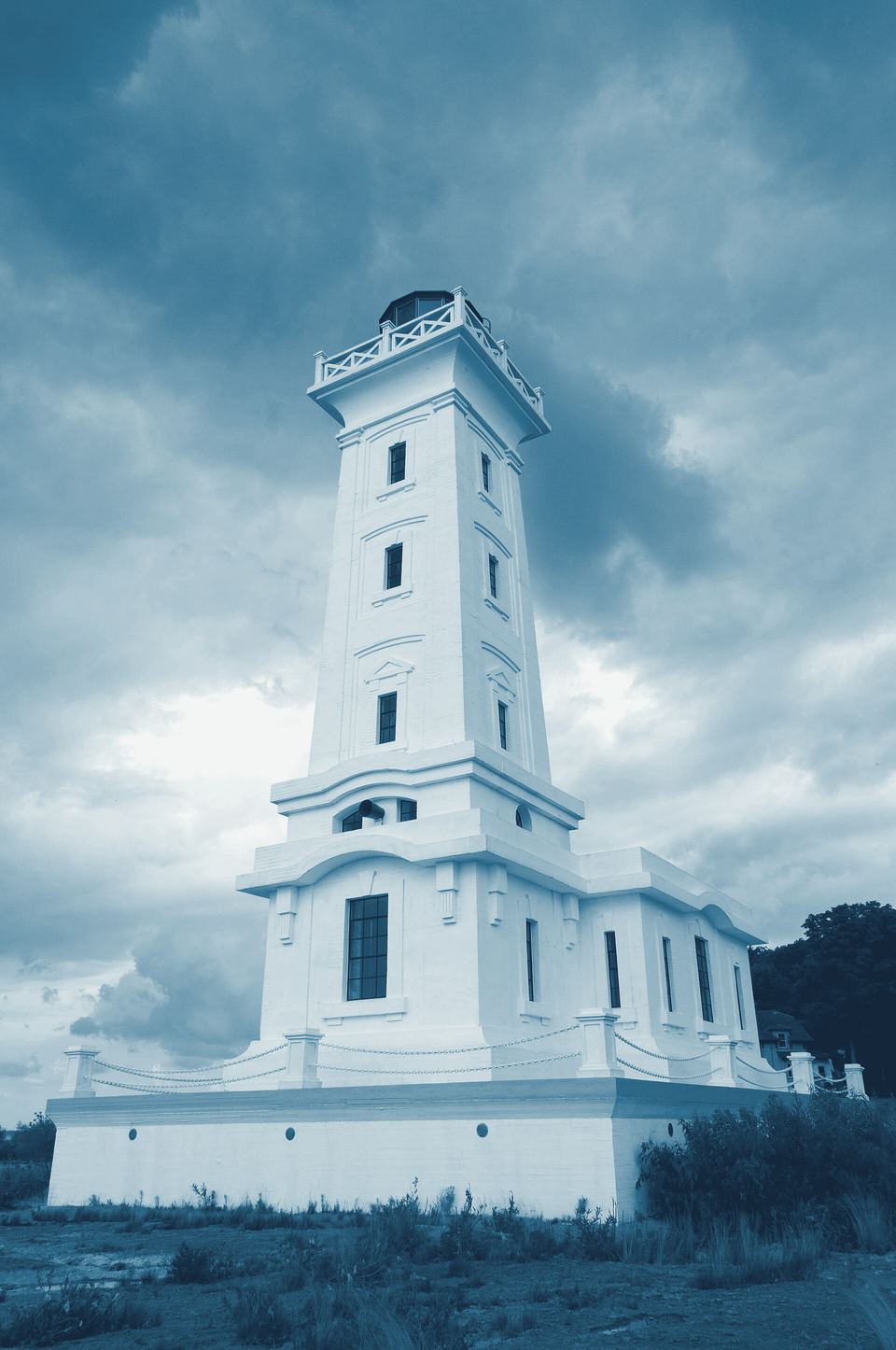
Point Abino, near Crystal Beach (Town of Fort Erie, Ontario)
Point Abino Lighthouse
No public access
Photo: Vicki McKay, CC BY-SA 3.0, via Wikimedia Commons. Toned for this site.
-
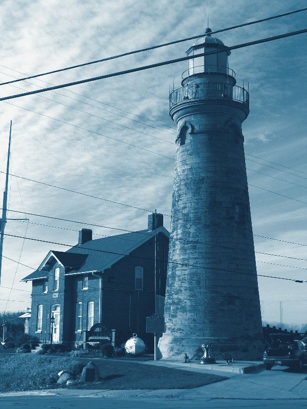
Fairport Harbor, Lake County, Ohio
Fairport Harbor Lighthouse
Tower climbs
Photo: Rona Proudfoot (ronnie44052), CC BY-SA 2.0, via Wikimedia Commons. Toned for this site.
-
Mouth of the Buffalo River, Buffalo (Erie County, New York)
Buffalo Main Lighthouse
Tower climbs
Photo: Robert Linsdell from St. Andrews, Canada, CC BY 2.0, via Wikimedia Commons. Toned for this site.
-
Marblehead, Ottawa County, Ohio
Marblehead Lighthouse
Tower climbs


Under the water
Stories from the lake floor
-
Lost April 28, 1850 · fire
Anthony Wayne
An early Lake Erie passenger steamer, the Anthony Wayne blew up off Vermilion, Ohio, in the spring of 1850 when her boilers exploded. Between 38 and…
-
Lost December 7, 1909 · storm
Marquette & Bessemer No. 2
The railroad car ferry Marquette & Bessemer No. 2 left Conneaut, Ohio, for Port Stanley, Ontario, on December 7, 1909, and vanished in a storm with…
-
Lost June 17, 1850 · fire
G.P. Griffith
Before dawn on June 17, 1850, the immigrant steamer G.P. Griffith caught fire off Lake County, Ohio, ran onto a sandbar short of the beach and…
-
Lost October 17, 1936 · storm
Sand Merchant
The Canadian sand dredge Sand Merchant rolled over and sank in a northwest gale off Avon Point, west of Cleveland, on the night of October 17, 1936…
-
Lost 1829 · cause unknown
Lake Serpent
Built at Cleveland in 1821, the schooner Lake Serpent sailed to Put-in-Bay for a load of stone in the autumn of 1829 and was never seen again; the…
-
Lost August 20, 1852 · collision
Atlantic
In the early hours of August 20, 1852, the overcrowded steamer Atlantic, packed with immigrants bound west, was rammed by the propeller Ogdensburg…
Plan a visit
Which Lake Erie lighthouses can you climb?
10[5] towers have offered public climbs, usually seasonally. See the list, verified 2026-10, and print the free one-page guide.
The shop
Take it with you
-
Lake Erie Lighthouse Trip Book & Checklist
Every Lake Erie lighthouse in route order, with how to see each one, on paper.
$9
-
Shipwrecks of Lake Erie
A wall map of Lake Erie's documented wrecks, with an inset timeline.
$12
-
Wreck Pack
The poster plus every shipwreck story in one book, and a spreadsheet of losses.
$19
-
Lake Erie Fact Book
The lake's numbers, maps and charts, every figure cited.
$9
-
Complete Set + Classroom Licence
Everything above, plus ten classroom worksheets and a teacher's licence.
$29
Sponsor a page? "Nearby" sponsor slots are $79 for 365 days.
Sources for the numbers on this page
- Physical Features of the Great Lakes, U.S. Environmental Protection Agency. Accessed .
- The Great Lakes: An Environmental Atlas and Resource Book, 3rd edition (1995), Factsheet No. 1, U.S. Environmental Protection Agency and Government of Canada. Accessed .
- GLSEA lake-average daily surface water temperature, Lake Erie, 1995-present (degrees F, all_year_glsea_avg_e_F.csv), NOAA Great Lakes Environmental Research Laboratory. Accessed . Values computed by us from this data.
- GLSEA lake-average daily surface water temperature, Lake Erie, 1995-present (degrees C, all_year_glsea_avg_e_C.csv), NOAA Great Lakes Environmental Research Laboratory. Accessed . Values computed by us from this data.
- Lake Erie Gazetteer data: this site's own compiled records (lighthouses, shipwrecks, storms), Lake Erie Gazetteer (WeldonPC). Accessed . Values computed by us from this data.